BROWSE - VOLUME LIST
- A - Physics of the Earth's Interior
- B - Seismology
-
C - Geomagnetism
C-119, C-118, C-117, C-116, C-115, C-114, C-113, C-112, C-111, C-110, C-109, C-108, C-107, C-106, C-105, C-104, C-103, C-102, C-101, C-100, C-99, C-98, C-97, C-96, C-95, C-94, C-93, C-92, C-91, C-90, C-89, C-88, C-87, C-86, C-85, C-84, C-83, C-82, C-81, C-80, C-79, C-78, C-77, C-76, C-75, C-74, C-73, C-72, C-71, C-70, C-69, C-68, C-67, C-66, C-65, C-64, C-63, C-62, C-61, C-60, C-59, C-58, C-57, C-56, C-55, C-54, C-53, C-52, C-51, C-50, C-49, C-48, C-47, C-46, C-45, C-44, C-43, C-42, C-41, C-40, C-39, C-38, C-37, C-36, C-35, C-33, C-32, C-31, C-30, C-29, C-28, C-27, C-26, C-25, C-24, C-23, C-22, C-21, C-20, C-19, C-18, C-17, C-16, C-15, C-14, C-13, C-12, C-11, C-10, C-9, C-8, C-7, C-6, C-5, C-4, C-3, C-2, C-1
-
D - Physics of the Atmosphere
D-79, D-78, D-77, D-76, D-75, D-74, D-73, D-72, D-71, D-70, D-69, D-68, D-67, D-66, D-65, D-64, D-63, D-62, D-61, D-60, D-59, D-58, D-57, D-56, D-55, D-54, D-53, D-52, D-51, D-50, D-49, D-48, D-47, D-46, D-44, D-45, D-43, D-42, D-41, D-40, D-39, D-38, D-37, D-35, D-34, D-33, D-32, D-31, D-30, D-28, D-27, D-26, D-25, D-24, D-23, D-22, D-21, D-20, D-19, D-18, D-17, D-16, D-15, D-14, D-13, D-12, D-11, D-10, D-9, D-8, D-7, D-6, D-5, D-4, D-3, D-2, D-1
- E - Hydrology
- P - Polar Research
- M - Miscellanea
-
Online First
Browse - Volume list
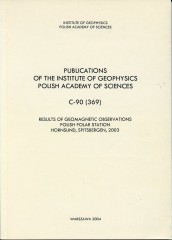
Results of Geomagnetic Observations, Polish Polar Station, Hornsund, Spitsbergen, 2003
Author(s): Glegolski W., Gnoiński A.
Volume: 369
Series: C-90
Volume: 369
Series: C-90
This volume contains the results of observations of the Earth's magnetic field carried out at the Polish Polar Station Hornsund in Spitsbergen in the year 2003.
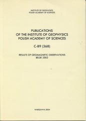
Results of Geomagnetic Observations, Belsk 2003
Author(s): Marianiuk J., Reda J.
Volume: 368
Series: C-89
Volume: 368
Series: C-89
This publication contains results of geomagnetic observations performed in 2003; it is consecutive, thirty-eighth issue in the series of yearbooks listing observations of the natural magnetic field of the Earth at the Central Geophysical Observatory at Belsk.
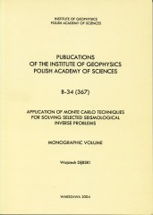
Application of Monte Carlo Techniques for Solving Selected Seismological Inverse Problems
Author(s): Dębski W.
Volume: 367
Series: B-34
Volume: 367
Series: B-34
This book is not intended to be an essay on the general inverse theory but rather a discussion of a particular technique used in the framework of the probabilistic inverse theory, including some new axiomatic elements of the theory, with advanced applications based on the Monte Carlo technique. For this reason, to present inverse problems and the techniques used to solve them, I chose the pragmatic, phenomenological approach which underlies the meaning of the various elements of inverse problems at the cost of mathematical rigors.
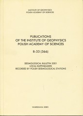
Seismological Bulletin 2001. Local Earthquakes Recorded by Polish Seismological Stations
Author(s): Draber D., Guterch B., Lewandowska-Marciniak H., Niewiadomski J.
Volume: 366
Series: B-33
Volume: 366
Series: B-33
The bulletin contains a list of local earthquakes which occurred in 2001 in Poland. The majority of seismic events recorded in Poland are caused by mining activity in the Upper Silesian Coal Basin and Lubin Copper Basin. Induced seismicity is observed less frequently in the Rybnik Coal District and Bełchatów Open-Pit Mining area. In 2001, a few local tectonic earthquakes occurred in the Western Carpathians at distances up to about 30 km from station Niedzica.
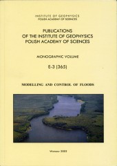
Modelling and Control of Floods
Editor(s): Napiórkowski J.
Volume: 365
Series: E-3
Volume: 365
Series: E-3
The great floods that affected a number of regions in recent years have attracted a great deal of attention throughout the world. When looking at our Polish experience, it is obvious that flooding is responsible for a great number of damaging events than most other types of natural disasters. Therefore, intensification of the studies of various aspects of flood problems is a must and is challenging not only for a scientific community but also for decision makers at both local and state levels.


